Summary: Artificial intelligence is rapidly transforming environmental monitoring by converting satellite imagery and geospatial data into actionable intelligence. New AI-powered systems can detect pollution, deforestation, oil spills, coral bleaching, and other ecological threats in real time at a fraction of the historical cost. As monitoring technologies become cheaper and more widely accessible, they have the potential to democratize environmental capabilities that were once limited to governments and major institutions.
Somewhere right now, an oil slick is spreading across a coastline that no one is watching. A patch of rainforest the size of a football field is being cleared while the nearest ranger sleeps fifty miles away. A lake is quietly choking on algal bloom, its water drawn by thousands of families who have no idea what is in their glasses. These are not hypotheticals. They are the daily consequences of a world that generates a lot of pollution, but monitors barely a fraction of the ecosystems that suffer damage.
Consider the numbers. More than 3 billion people rely on water whose quality is completely unknown due to a lack of monitoring. More than 80 percent of the ocean remains unobserved. A landmark 2025 study in Science Advances revealed that only 0.001 percent of the deep seafloor has ever been visually surveyed. That amounts to an observed area roughly the size of Rhode Island, despite the deep ocean covering two-thirds of our planet. Sub-Saharan Africa has just one air quality monitor per 15.9 million people, compared to roughly one per 100,000 in Europe. Humanity has spent billions launching satellites that photograph every square meter of Earth’s surface, yet we lack the capacity to meaningfully analyze most of what they capture.
That is the paradox of our age: we are drowning in Earth-observation data but starving for environmental intelligence. It is a paradox I set out to solve. Earlier this year, from my apartment in Fargo, North Dakota, I launched CleanSentinels, an AI-powered environmental intelligence platform that deploys specialized “sentinels” to detect pollution, deforestation, oil spills, coral bleaching, and other ecological threats from uploaded images. Think of each sentinel as a tireless expert whose sole job is to analyze a photograph (whether satellite imagery, drone footage, or even a snapshot from your phone) and tell you exactly what’s wrong and how severe it is.
Blue Sentinel monitors water pollution, detecting everything from plastic debris to algal blooms. Green Sentinel watches forests for illegal logging and disease. Brown Sentinel analyzes soil degradation. Black Sentinel detects oil spills and industrial runoff. Teal Sentinel assesses coral-reef health. Three more (Gray for air quality, Red for wildfires, and Yellow for hazardous waste) are coming soon. Together, they represent what I believe is the next great democratization: putting environmental-monitoring capabilities that once required million-dollar infrastructure into the hands of anyone with an internet connection.
The raw ingredients for planetary-scale environmental monitoring already exist. NASA’s Earth-science data archive surpassed 123 petabytes in 2024 and is projected to reach 600 petabytes by 2030. The Copernicus program hosts more than 80 petabytes of freely available Sentinel satellite data, totaling 100 million individual products, all of them open-access. Google Earth Engine holds more than 90 petabytes of analysis-ready imagery and continues to grow at roughly a petabyte per month. The Landsat archive alone has seen more than 200 petabytes downloaded since it became freely available in 2008.
The bottleneck was never the data. It was the analysis. Allen AI’s Skylight ocean-surveillance platform illustrates the gap perfectly: a single day’s worth of ocean-monitoring satellite imagery would take a human analyst 800 hours to review. Skylight’s AI does it in eight. That is the kind of compression that transforms monitoring from a luxury into a utility, and it is the principle at the heart of CleanSentinels.
What makes this moment possible is a convergence of collapsing costs that would have seemed fantastical a decade ago. CubeSats now cost roughly $500,000 to build and launch, a thousand-fold reduction from the $500 million price tag of a traditional Earth-observation satellite. GPS evolved from a $5 billion military program into a $1.50 chip in nearly every smartphone. Satellite imagery has shifted from classified intelligence to free and open access, with Sentinel-2 providing 10-meter-resolution data to anyone on the planet at no cost. And AI inference prices have plummeted at a pace that outstrips even Moore’s Law: the cost of GPT-3.5-level intelligence fell 280-fold in just two years, from $20 to $0.07 per million tokens.
That trajectory follows Wright’s Law, the empirical observation that costs decline predictably as cumulative production scales. The Santa Fe Institute has validated this pattern across 62 technologies. Solar panels decline by roughly 20 percent in cost with every doubling of manufacturing capacity. DNA sequencing fell from $100 million per genome to roughly $200 — a 500,000-fold collapse. Environmental AI is riding the same curve. The question is no longer whether AI-powered monitoring will become ubiquitous, but how quickly.
If the technological case for AI-powered monitoring is compelling, the economic case is self-evident. The Deepwater Horizon disaster cost an estimated $65 billion in direct costs, with academic analyses placing the true figure closer to $145 billion. The Flint, Michigan water crisis showed how a water quality problem that went undetected for 18 months ultimately cost more than $1 billion in remediation. Those are powerful reminders of what earlier monitoring might have prevented.
The pattern is consistent across domains. Research shows that a one-hour reduction in wildfire response time reduces the frequency of large fires by 16 percent. The January 2025 Los Angeles wildfires, the costliest in American history, caused up to $250 billion in economic losses. Global deforestation costs between $2 trillion and 5 trillion per year in lost ecosystem services. Coral reefs provide $150 billion annually through tourism, fisheries, and coastal protection. Every hour of delayed detection risks turning a containable incident into a catastrophe. Every dollar spent on early-warning systems returns up to ten dollars in prevented losses.
The monitoring gap represents an enormous opportunity. Of the 76,000 water bodies reported globally, only 1 percent were located in the world’s poorest countries. Africa’s air-pollution death rate is 155 per 100,000 people, nearly double the global average — yet the continent has only 156 ground-level air-quality monitoring stations for 1.4 billion people. Even in the United States, studies show that low-cost air-sensor coverage remains uneven across communities, meaning the areas that would benefit most from monitoring often receive the least coverage.
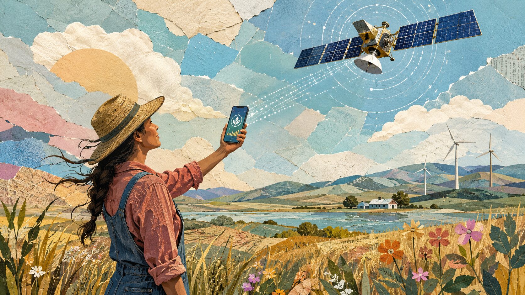
That is why democratization matters. When monitoring requires $100,000 instruments and PhD-trained operators, only wealthy nations and institutions can afford to watch. When it requires only a smartphone and an AI sentinel, the calculus changes entirely. With 7.4 billion smartphone subscriptions worldwide, nearly 80 percent of the global population now carries a GPS-enabled, high-resolution camera. The potential sensor network already exists. What was missing was the intelligence layer. That is what CleanSentinels provides.
Pessimists argue that the scale of environmental destruction outpaces any technology’s ability to keep up. But critics once said the same about acid rain, the ozone hole, and the Cuyahoga River catching fire. The historical record tells a different story. Since 1970, the United States has reduced combined emissions of six major air pollutants by 78 percent while GDP has quadrupled. The bald eagle population recovered from 417 nesting pairs to more than 316,000 individual eagles. The global rate of net forest loss has more than halved since the 1990s, and 36 countries are now gaining more tree cover than they lose.
Each of these victories followed the same pattern: first we learned to see the problem, then we learned to measure it, and then we solved it. CleanSentinels is not the only platform operating in this space, nor should it be. Google’s FireSat constellation is detecting wildfires too small for current satellites to identify. NASA and IBM’s Prithvi foundation model is helping make geospatial AI open source. Global Forest Watch’s GLAD alerts have compressed deforestation detection from months to days. What unites these efforts is a shared conviction: that environmental monitoring should not be a privilege of the wealthy, but a right of the exposed.
From Fargo, I see the contours of a future in which every coastline has a Blue Sentinel watching for oil spills, every forest has a Green Sentinel watching for chainsaws, and every community, regardless of income or geography, has the tools to see, measure, and demand action against the threats in its environment. The same trajectory that transformed GPS from a military secret into a free utility in every pocket, and satellite imagery from classified vaults into open data, is now reshaping environmental intelligence.
We already possess the satellites, the data, the AI, and the smartphones. What we have lacked is the connective tissue that transforms raw pixels into actionable knowledge, and the determination to make that knowledge universal. The planet has always been speaking to us. We are finally building the tools to listen. That is human progress at its finest.